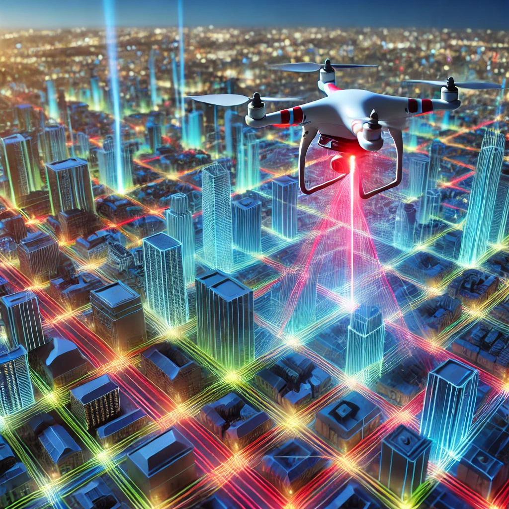

LiDAR, an acronym for Light Detection and Ranging, is a transformative technology reshaping industries through its precision and efficiency in 3D scanning. With applications spanning from autonomous vehicles to environmental monitoring, LiDAR’s ability to capture detailed spatial information is unmatched. In this blog post, we will explore how LiDAR works, its role in 3D scanning, and why it is a game-changer for various industries.
What is LiDAR?
LiDAR uses laser pulses to measure distances to objects. By emitting a laser beam and measuring the time it takes for the light to return after hitting a surface, LiDAR systems calculate distances with exceptional accuracy. This data is then used to create detailed 3D maps or models of the scanned environment.
LiDAR systems typically consist of three main components:
- Laser: Emits the light pulses.
- Scanner and Optics: Directs the laser and collects the returning light.
- GPS and IMU: Provides spatial orientation and positional data to situate the collected points in a global reference frame.
How LiDAR Works in 3D Scanning
- Emission of Laser Pulses: The LiDAR device emits laser beams towards the target surface.
- Detection of Reflected Light: The returning light is captured by the sensor.
- Distance Calculation: Using the time-of-flight principle, the distance to the object is computed.
- Data Integration: The system combines this distance data with GPS and IMU inputs to create a 3D representation of the environment.
A single LiDAR scan generates a "point cloud," a collection of data points that represent the scanned area or object. Advanced software processes this data to produce high-resolution 3D models.
Applications of LiDAR in 3D Scanning
LiDAR has a wide range of applications due to its ability to create accurate 3D models. Some notable use cases include:
- Architecture and Construction: LiDAR captures precise measurements of buildings and sites, aiding in design, monitoring, and renovations.
- Autonomous Vehicles: LiDAR provides real-time 3D mapping for navigation and obstacle detection.
- Environmental Monitoring: From forestry management to flood modeling, LiDAR is invaluable for analyzing terrain and vegetation.
- Urban Planning: City planners use LiDAR to create detailed maps for infrastructure development.
- Archaeology: LiDAR uncovers hidden structures beneath vegetation, revolutionizing how ancient sites are discovered.
- Mining: LiDAR assists in volumetric calculations and safety monitoring in mining operations.
Why LiDAR is a Game-Changer
- Accuracy: LiDAR can capture details down to a few millimeters, making it ideal for precision-demanding tasks.
- Speed: LiDAR systems can scan large areas quickly, saving time in data collection.
- Versatility: From aerial drones to handheld devices, LiDAR systems adapt to various platforms and environments.
- Environmental Independence: LiDAR works effectively in low-light conditions and can penetrate vegetation, unlike traditional photogrammetry.

The Future of LiDAR in 3D Scanning
The evolution of LiDAR technology is driving innovation across sectors. Advances in hardware, such as solid-state LiDAR, are making the systems more compact, affordable, and efficient. Integration with AI and machine learning promises to enhance the processing and analysis of LiDAR data, unlocking new possibilities in fields like robotics, urban development, and environmental conservation.
Conclusion
LiDAR has redefined how we perceive and interact with the world. Its precision, speed, and adaptability make it a cornerstone of modern 3D scanning technologies. As industries continue to embrace LiDAR, the potential for innovation and improvement in processes is limitless. Whether you're designing cutting-edge machinery or mapping ancient ruins, LiDAR is the tool that brings your vision to life.